


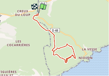

5,7 km | 8,3 km-effort

Usuario


Aplicación GPS de excursión GRATIS
 SityTrail
IGN / Institutos geográficos
SityTrail World
El mundo es suyo
Ruta Senderismo de 9,4 km a descubrir en Provenza-Alpes-Costa Azul, Bocas del Ródano, Le Rove. Esta ruta ha sido propuesta por jll7513.
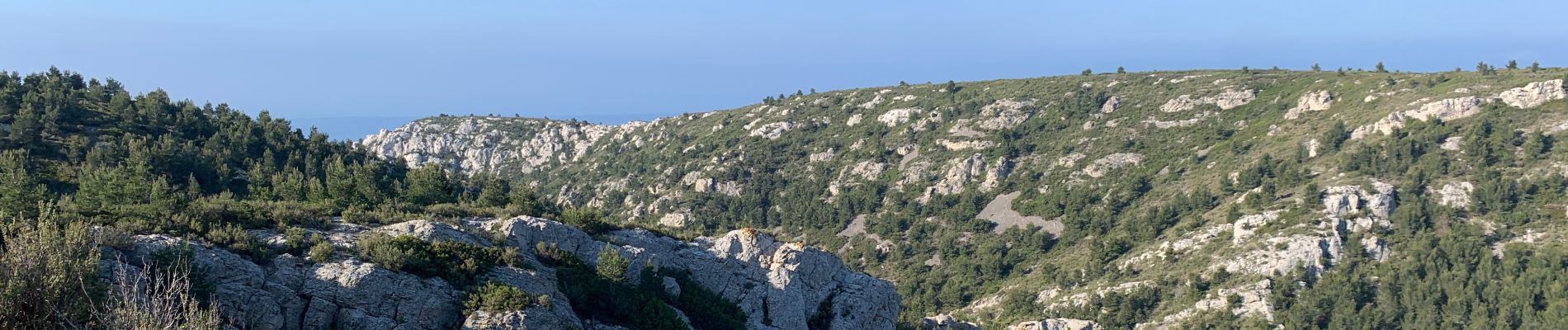
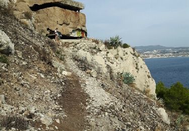
Belle petite randonnée, sur la fin de la boucle de retour on passe au milieu d'improbable petite oliveraies. Parcours pas du tout ombragé.


Senderismo

Senderismo

Senderismo

A pie

A pie

Senderismo

Senderismo

Senderismo
Senderismo